Home › FAQ › Nature & beaches › Itinerary
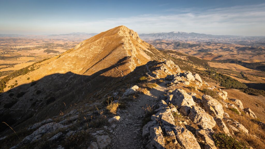
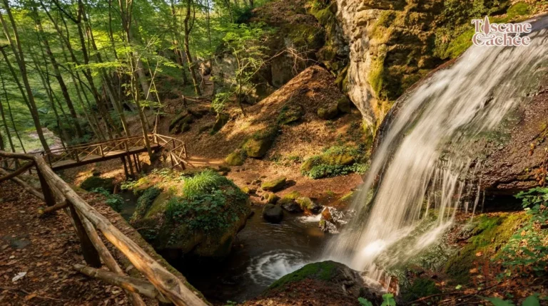
Around Santa Fiora, the easiest trails follow the water. The routes of the "Vie dell'Acqua" (the water paths) start from the piazza Garibaldi, cross the historic centre to the Peschiera and return via the Mill Path, along the old mills and canals. It is a stroll of a few hours at most, suitable for families.
The Vie dell'Acqua network has about ten routes, including a large loop of about 62 km around the mountain, to be done over several days. For the mountain itself, a trail leaves the village via San Rocco and joins theupper Amiata ring, which circles the summit through the beech forest. The summit, at 1,738 m, is recognizable by its large iron cross. Less experienced walkers can drive up to the mountaintop refuges and only do the last part on foot.
Even in summer, bring a warm layer: you pass quickly from the heat of the plain to the cool air of the beech forest, and fog can roll in during the afternoon. Some trails on the Sienese side of the ring are less well maintained: download the route map before setting out, as phone reception is weak in the forest. More hiking ideas in our 3-day itinerary around Mount Amiata. 3 days around Mount Amiata.
Is the map not displaying? See accommodations on Stay22 →
Map and prices provided by Stay22: Toscane Cachée may receive a commission on bookings.
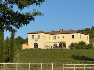 ★ 10.0Agriturismo In CampagnaSanta Fiora · < 1 km
 ★ 6.9Agriturismo La LeggendaLocalita` Selva · 4.2 km
 ★ 6.8Agriturismo I RondinelliArcidosso · 5,0 km
 ★ 6.8Agriturismo Castello delle FornaciArcidosso · 6,7 km
 Camping Lucherino — Safari tentCinigiano · 11 kmfrom 162 €
 Camping Lucherino — Safari tent «GardenCinigiano · 11 kmfrom 121 €
 Lucherino Campsite — Safari tent «ValleyCinigiano · 11 kmfrom 118 €
 ★ 8.9La Casetta al RocconeSaturnia · 12 kmfrom 200 €
 Hiking on Mount Amiata with Controsole TrekkingMont Amiata · 6,8 km
 ★ 10.0Organic wines, Tuscan delights and the medieval village of RoccalbegnaRoccalbegna · 8,1 km
 ★ 5.0Seggiano: Visit to a typical Tuscan farm with olive oil tastingSeggiano · 11 km
 Olio Abbraccio olive oil tasting in SeggianoSeggiano · 11 km
 Article
 Place sheet
 Place sheet
 Français Français
 Italiano
 English
 Polski
 Português do Brasil
 Nederlands
 Español
 Deutsch