Home › FAQ › Nature & beaches › Itinerary
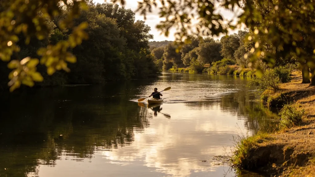
The crossing on foot between Talamone and Alberese takes about 20 km and the park announces a hike of about 10 o'clock. For the elevation gain, be careful: the 400 m indicated correspond to the maximum altitude reached, with repeated ascents and descents; this is not the cumulative elevation gain. I have no reliable official figure for the latter.
This is not a marked hiking route to do freely whenever you want: the crossing is offered on certain dates, with mandatory guide and reservation. Depending on the variant, it passes through the abbey of San Rabano or through the area of Collecchio. The park classifies it as difficult; so plan for a real full day of walking, not a simple coastal stroll. Check the dates and arrangements with the park before planning your itinerary, and organize the return from the arrival point: it is not a loop.
Is the map not displaying? See accommodations on Stay22 →
Map and prices provided by Stay22: Toscane Cachée may receive a commission on bookings.
 ★ 9.5Podere Caprarecce TrilocaleTalamone · 1.2 km
 ★ 8.0Tenuta Valle BuiaTalamone · 2.5 km
 Agriturismo Tenuta il SolengoFonteblanda · 3.4 km
 ★ 9.2Agriturismo BurattaFonteblanda · 3.6 km
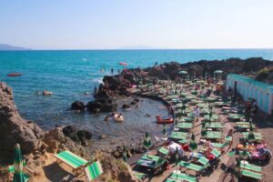 Talamone Apartment - 100 Meters From the BeachFonteblanda · < 1 km
 ★ 9.1Baia Di TalamoneTalamone · < 1 kmfrom 361 €
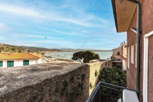 Talamone View ApartmentAlbinia · < 1 kmfrom 437 €
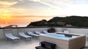 ★ 8.3Hotel Il TelamonioTalamone · < 1 kmfrom 230 €
 Article
 Article
 Article
 Français Français
 Italiano
 English
 Polski
 Português do Brasil
 Nederlands
 Español
 Deutsch